

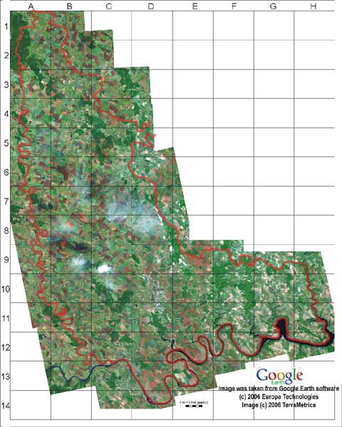
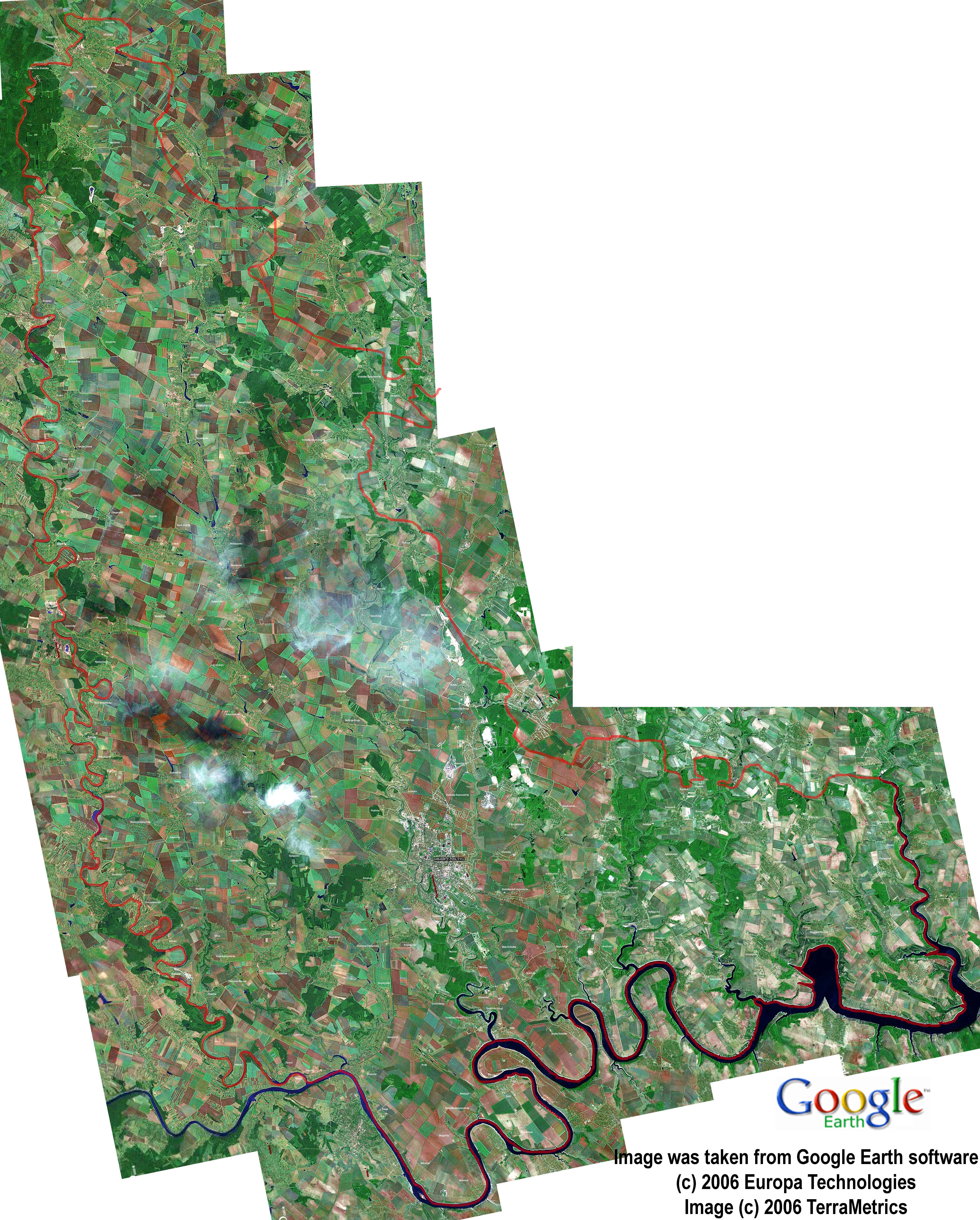
"Podilsky Tovtry" NNP is located on the territory of three administrative regions of Khmelnitsky oblast: Kamianets-Podil's'kiy, Chemerovetsky and Gorodotsky. It has an area of 261 316 hectare (12,5% of the territory of Khmelnitsky oblast).
The geographical coordinates of the territory of NNP "Podilsky Tovtry" are:
The southern border is along the Dnister river, from 26�30' north latitude 48�20' west longtitude to 27�30' north latitude 48�20' west longtitude);
The western border is along the Zbruch river, from 26�30' north latitude 48�20' west longtitude to 26�30' north latitude 49�20' west longtitude;
The northern border is from 26�00' north latitude 49�20' west longtitude to 27�30' north latitude 49�20' west longtitude;
The eastern border is along the Ushytsya river, from 27�30' north latitude 48�20' west longtitude to 27�30' north latitute 49�20' west longtitude.